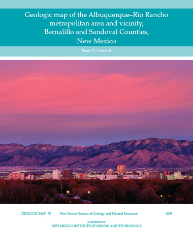
GM-78 — Geologic map of the Albuquerque–Rio Rancho metropolitan area and vicinity, Bernalillo and Sandoval Counties , New Mexico
By Sean Connell, 2008, 2 sheets, scale 1:50,000.

This is the most comprehensive compilation of the geology of the Albuquerque Basin to be printed in 30 years. The area covered by this new compilation, though not as large as the earlier map, is presented at a scale nearly four times the detail (1:50,000 scale compared to the earlier map's 1:190,000 scale). This new geologic map is a compilation of sixteen 7.5-min USGS quadrangle maps and encompasses an area from Tijeras Arroyo on the south to Santa Ana Mesa north of Santa Ana and San Felipe Pueblos, and from the crest of the Sandia Mountains westward across the Rio Grande and onto the Llano de Albuquerque (West Mesa) west of the city limits of Albuquerque and Rio Rancho.
This geologic map graphically displays information on the distribution, character, orientation, and stratigraphic relationships of rock and surficial units and structural features. The map and accompanying cross sections were compiled from geologic field mapping and additionally from available aerial photography, satellite imagery, and drill-hole data (many published and unpublished reports, examination of lithologic cuttings, and from the interpretation of borehole geophysical log data).
The map and accompanying cross sections represent the most informed interpretations of the known faults in the Albuquerque–Rio Rancho area that are presently available. In addition to the positions of many faults, the cross sections show the approximate vertical extent of poorly consolidated earth materials that may pose liquefaction hazards. This map also contains derivative maps selected to portray geologically important features in the metropolitan area, such as elevations of ground water levels, and the mostly buried boundary between generally poorly consolidated and saturated aquifer materials and the more consolidated underlying materials. The gravity anomaly map is a geophysical dataset that shows major geological structures buried beneath the metropolitan area and vicinity.
Available folded or rolled:
ISBN: 9781883905262
$24.95
Buy
Now
Two folded sheets, 50 x 65.5 inches.
Also available as a free download.
GIS Data
Files are available for download from Open-file report 496 (note that the open file may no longer match the printed map):
Download
| File Name | Size | Last Modified |
|---|---|---|
| GM-78_complete.zip | 46.59 MB | 02/05/2021 04:18:50 PM |
| GM-78_map.pdf | 31.80 MB | 02/05/2021 04:15:35 PM |
| GM-78_xsects.pdf | 15.24 MB | 02/05/2021 04:18:33 PM |


