Open-file Geologic Map - 271
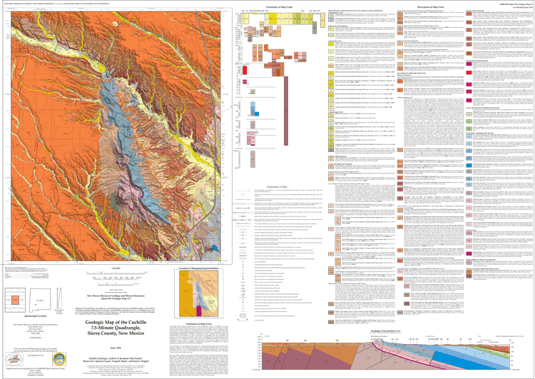
Geologic Map of the Cuchillo 7.5-Minute Quadrangle, Sierra County, New Mexico
Jump To
Daniel J. Koning, Andrew P. Jochems, Ron Foster, Bruce Cox, Spencer G. Lucas, Greg H. Mack, and Kate E. Zeigler
2018
(last revised: 5-July-2018)
scale 1 : 24,000
https://doi.org/10.58799/OF-GM-271
Located northwest of downtown Truth or Consequences, the Cuchillo quadrangle occupies a key location for understanding the geologic history of the Truth or Consequences area. We refine previous mapping, which produced a robust geologic map of the bedrock geology of the Mud Springs Mountains (Maxwell and Oakman, 1990), and focus most of our effort on mapping the internal stratigraphy and structure of the Santa Fe Group—building from the detailed, admirable work of Foster (2009) and Mack et al. (2012). The Cuchillo quadrangle includes the entire Mud Springs Mountains, a northeast-tilted fault block underlain by Ordovician-Pennsylvanian strata composed mainly of limestones, dolomites, and shales—with reddish, fluvial mudstones and sandstone present on the northeastern flank of these mountains. Surrounding this bedrock high are sandstones, with minor siltstones and conglomerates, of the Plio-Pleistocene Palomas Formation, whose age is well constrained at 5 to 1 Ma using magnetostratigraphic and previous biostratigraphic and 40Ar/39Ar geochronologic studies. The Palomas Formation comprises the upper basin fill unit of the Santa Fe Group that filled two adjoining basins, the Engle Basin to the northeast and the Palomas Formation to the southwest, during subsidence of the Rio Grande rift. The aggradational surface of the Santa Fe Group is well-preserved on this quadrangle and is called the Cuchillo surface (McCraw and Love, 2012). Near the town of Cuchillo, located in the northwest corner of the quadrangle in the valley of Cuchillo Negro Creek, are exposures of finer-grained, highly tilted, pre-5 Ma strata of the Santa Fe Group.
Downloads
| File Name | Size | Last Modified |
|---|---|---|
| OFGM-271_Cuchillo.pdf | 17.15 MB | 02/19/2021 02:33:32 PM |
| OFGM-271_CuchilloReport.pdf | 13.14 MB | 02/19/2021 02:33:41 PM |
| GISdata: | ||
| OFGM-271_Cuchillo.mpk | 76.12 MB | 12/17/2020 08:20:14 AM |

Notes:
Geologic mapping of this and other 7½-minute quadrangles in New Mexico is being cooperatively funded by the USGS through the STATEMAP program and with matching funds from the Bureau. For a list of quadrangles in this series, please visit the Open-file Geologic Map (OF-GM) page or try our search page for geologic maps of any series.
These maps are open-filed as they become available. Initially, maps are posted as PDF files of scans of the hand-drawn linework, and later as full color maps and GIS products. These files can be downloaded for free or may be purchased on CD-ROM.
These maps are subject to frequent revisions and may be unavailable when being revised. Map Reference dates show the time of initial compilation; Map Revision dates, when given, indicate the most current version of the map; Last Modified dates for files may not accurately reflect the time the map was last revised.
Please direct comments or requests regarding these maps to either the map authors or the Geologic Mapping Program Manager.


