


Bulletin 145—Late Mesozoic to Cenozoic cooling histories of the flanks of the northern and central Rio Grande rift, Colorado and New Mexico
We are a research and service division of:
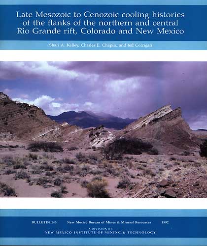
By S. A. Kelley, C. E. Chapin, and J. Corrigan, 1992, 39 pp, 7 tables, 18 figs., 1 appendix.
Apatite fission-track (FT) data collected in the northern and central Rio Grande rift of NM and CO indicate that rocks now exposed in the eastern and western margins of the rift cooled during uplift and erosion in a complex spatial and temporal pattern. FT data from the Santa Fe Range, Los Piños Mountains, and northern Nacimiento Mountains indicate that these mountain blocks cooled during the early stage of the Laramide orogenic event. Other mountain blocks began cooling during the late stage of the Laramide event and subsequent Eocene erosion. The Sandia Mountains, Blanca Peak, Joyita Hills, Sierra Ladrones, the high-elevation portion of the Sawatch Range, and the lower-elevation samples in the Sangre de Cristo Mountains began cooling during early extension of the Rio Grande rift and/or waning of regional volcanism in the late Oligocene and early Miocene. The eastern front of the Sawatch Range, the Sangre de Cristo Mountains north of Blanca Peak, the low-elevation portion of the Sangre de Cristo Mountains near San Luis, Colorado, and the Lemitar Mountains cooled during late-stage rifting in middle to late Miocene. Generally, the youngest FT ages are found in the rift flanks adjacent to large normal faults along the deep margins of the en echelon half-grabens that make up the present Rio Grande rift. Two of the blocks with Miocene FT ages, the Sierra Ladrones and Blanca Peak, are promontories that project into the rift basins at the junction of arcuate normal faults bounding the deep side half-grabens. Tectonic denudation of three sides has allowed unusually rapid isostatic uplift in these blocks. Similarly, the Sangre de Cristo Mountains north of Blanca Peak are bounded on two sides by active late Cenozoic faults that have allowed the rapid isostatic rise of these mountains. Cooling rates increased from the Laramide orogenic event (1º to 4º C/Ma) to the development of the Rio Grande rift (7º to 20º C/Ma).
The Southern Rocky Mountains in CO and NM have had a long and complex geologic history, culminating in the Late Cretaceous to late Eocene with the compressional Laramide orogenic event. A widespread surface of low relief was carved across much of the area in late Eocene. Major volcanism affected the province during the Oligocene. The Rio Grande rift, an extensional feature that bisects the Southern Rocky Mountains, began to form about 30 Ma and developed during two phases of regional extension. The early northeast-southwest-oriented phase of extension is characterized by the development of broad, shallow basins, low-amplitude topographic relief, local areas of intense extensions associated with low-angle normal faults, and the emplacement of large volumes of silicic ash-flow tuffs and basaltic andesite lavas. The later phase of extension is characterized by the development of deep half-grabens, high topographic relief, the formation of widely spaced, high-angle normal faults, and the emplacement of alkali-olivine and tholeiitic basalts.
The tectonic development of Southern Rocky Mountains in the vicinity of the rift has been determined primarily by studying the depositional and structural history of sedimentary and volcanic rocks preserved in and adjacent to the rift basins. Two of the basins of the northern Rio Grande rift, the San Luis Basin and the Albuquerque-Belen Basin, are largely undissected so that the early history in these basins is not well constrained, although data from seismic lines and petroleum test wells have improved the understanding of these areas in recent years. Little has been done to estimate the uplift rate or timing of uplift of the mountain ranges that bound the margins of the rift. Many of the rift models in the literature predict uplift rates, but there are few data to test these predictions. Fission-track data from rocks exposed along the flanks of the rift provide powerful constraints for these models.
$7.00
Buy
Now
Also available as a free download.
Download
| File Name | Size | Last Modified |
|---|---|---|
| B145.pdf | 5.90 MB | 01/15/2021 01:25:12 PM |