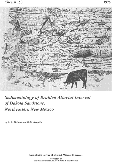
Circular 150—Sedimentology of braided alluvial interval of Dakota Sandstone, northeastern New Mexico
By J. L. Gilbert and G. B. Asquith, 1976, 16 pp., 20 figs., 4 tables.

Paleocurrent analysis, grain size, and thickness of this interval indicates a dominant southeasterly transport direction. Source areas were San Luis and Apishapa uplifts. The approximate boundaries of the study area are the Texas-Oklahoma-New Mexico border, the Colorado-New Mexico border, the extreme eastern edge of the Sangre de Cristo Mountains, and I-40. The area is essentially rectangular, about 150 mi north to south and about 130 mi east to west.
According to King and Baltz, the major active Pennsylvanian and Permian tectonic features in the northern New Mexico-southern Colorado region were the San Luis uplift, the Wet Mountain-Apishapa uplift, the Sierra Grande uplift, and the intervening Rowe-Mora Basin. Baltz noted that the Rowe-Mora Basin was connected at its southern end to the Tucumcari Basin. Permian, Upper Triassic, and Upper Jurassic rocks blanketed the northern New Mexico-southern Colorado region and buried the late Paleozoic Sierra Grande, Apishapa, and San Luis uplifts. The San Luis and Apishapa uplifts, rejuvenated during the Early Cretaceous, were probably source areas for the Dakota braided alluvial interval. According to Jacka and Brand and Muehlberger and others, the braided alluvial interval was deposited by streams originating from early Laramide uplifts to the west. During the Late Cretaceous, the western Cretaceous seaway inundated the Rocky Mountain region including northeastern New Mexico.
The San Luis uplift and the western parts of the Paleozoic Rowe-Mora and Central Colorado Basins were elevated to form the Sangre de Cristo uplift during the early and middle Tertiary. Baltz concluded that the present Raton Basin, Las Vegas sub-basin, Wet Mountain uplift, and the Apishapa and Sierra Grande uplifts were formed during early Tertiary time. Jacka and Brand postulated that the source for the braided alluvial interval was probably early Laramide uplifts to the northwest. They based their conclusion on a study of pebbles in the conglomeratic fraction of the interval and on southeasterly transport directions measured only in the Las Vegas-Canadian River areas. The purpose of this study was to determine the source area for the braided alluvial interval using regional paleocurrent analysis, grain size analysis, and thickness variations. In addition quantitative sedimentary structure analysis was used to determine whether the position of the area within the braided stream system is proximal or distal.
The Dakota Sandstone in northeastern New Mexico is subdivided into three
intervals. The Lower interval is a braided alluvial sheet composed of fine-
to medium-grained, cross-stratified sandstone with conglomerate lenses.
The middle interval represents a meander-belt environment and contains fine-
to very fine grained, lenticular sandstone with interbedded carbonaceous
shale and coal. The upper interval represents a transgressive marine succession
containing fine- to very fine grained, horizontally stratified sandstone
with burrow casts of Ophiomorpha. Paleocurrent analysis of the braided alluvial
interval indicates a dominant southeasterly transport direction. This conclusion
is supported by a decrease in mean grain size and thickness to the east
and southeast. Analysis of the stratification ratio indicates that proximal
braided-stream facies are predominant in the west and northwest parts of
the study area, and that distal braided-stream facies are predominant to
the east and southeast. The sediment dispersal pattern and the presence
of proximal braided stream facies indicate that the source areas were the
San Luis and Apishapa uplifts of Colorado and New Mexico.
$4.25
Buy
Now
Also available as a free download.
Download
| File Name | Size | Last Modified |
|---|---|---|
| Circular-150.pdf | 807 KB | 01/11/2021 02:59:09 PM |


