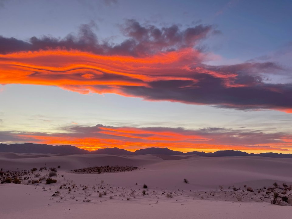
Image of the Day — When the sun goes down on the White Sands
Posted: Sunday, January 21, 2024

Image taken:
10/23/2021
by: Julia Ricci
©
2022
Longitude: -106.256019444
Latitude: 32.7949194444
(WGS 84 or NAD 83)
About this image
White Sands lies in the Tularosa Basin. The gypsum that forms the white sands was deposited at the bottom of a shallow sea that covered the region 250 million years ago during the Permian era. Over time the gypsum-bearing marine deposits like the Yeso and San Andres formations were turned into stone. 70 million years ago mountain building took place that uplifted the Rockies and elevated the western states. This upheaval called the Laramide Orogeny caused the present Tularosa area to be uplifted into a broad arch. Around 10 million years ago the crust began to stretch apart and the Tularosa arch began to subside to form the Tularosa Basin, and the Sacramento Mountains to the east and San Andres mountains to the west were uplifted along north-south trending faults.
The Tularosa Basin is called a graben, and a "bolson" because it has no outlet for surface water. It is like a bathtub with no drain. After summer thunderstorms Lake Lucero fills with runoff from the San Andres Mountains. As the playa lake evaporates gypsum crystallizes and is deposited on the lake floor, to be picked up by the winds and carried to the dune fields.
For more information, see our geologic tour of White Sands National Park.
Camera Details
Panasonic Lumix
Image posted: 06-14-2022


