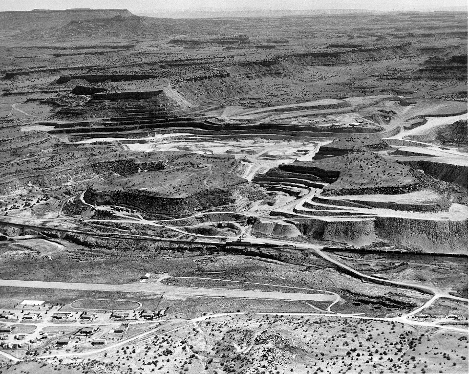
Aerial View of Jackpile Uranium Mine

Aerial view, looking northeast, of Anaconda's Jackpile uranium mine in Cibola County New Mexico
Image taken:
1958
©
1958
New Mexico Bureau of Geology and Mineral Resources, Historic Photograph Archives
Courtesy of Bill Chenoweth, U.S. Department of Energy
Longitude: -107.332268
Latitude: 35.135874
(WGS 84 or NAD 83)
[See more information related to this image...]
Image posted: 12-17-2021


