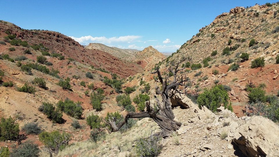
Monocline at the edge of the Rio Grande Rift

Image taken:
09/15/2016
by: Adam Read
©
2016
Longitude: -107.086758
Latitude: 34.779964
(WGS 84 or NAD 83)
About this image
This view to the North shows East-dipping beds of a monocline formed along the Comanche Fault. Just to the East is the Albuquerque Basin of the Rio Grande Rift while just to the west are flat-lying sediments of the Colorado Plateau.
Location
Carrizo Arroyo is on State Land, but road access is difficult through private land.
Image posted: 12-17-2021


