


New Mexico Geological Society
Fall Field Conference Guidebook - 45
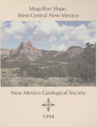
Mogollon Slope, West-Central New Mexico
We are a research and service division of:
Richard M. Chamberlin, Barry S. Kues, Steven M. Cather, James M. Barker and William C. McIntosh, eds, 1994, 335 pages.
The 1994 New Mexico Geological Society Fall Field Conference journeys through the serene outback of northeastern Catron County, New Mexico and part of adjacent Apache County, Arizona. We refer to this scenic terrane of volcanic capped ranges on the northern periphery of the Mogollon-Datil volcanic field and the downwarped southern margin of the Colorado Plateau as the Mogollon slope. The first day emphasizes the Cenozoic stratigraphy and structure of the Mogollon slope. The tour travels from Socorro to Magdalena, Datil, Westen Crosby Mountains, Sawtooth Mountains, Pie Town, Quemado and Quemado Lake. The second day traverses part of the northwestern margin of the late Eocene to late Oligocene Mogollon-Datil volcanic field. The route begins at Quemado Lake and on to Mangas Mountains, Omega, Quemado, Tejana Mesa and Red Hill, New Mexico and over into Springerville and Alpine in Arizona. On the final day the trip departs from Alpine, Arizona and goes on to Luna, Reserve, Apache Creek, Horse Springs and Datil, New Mexico.
Papers from this guidebook are available for download from the NMGS website.
Softcover:
$5.00
Buy
Now
Individual papers from this guidebook are available as free downloads from the NMGS site.