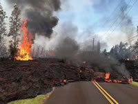
Geologic Hazards
On This Page
Aside from drought and flooding, natural disasters that affect large numbers of people seem to be infrequent in New Mexico. In part, this is because our population density is so low away from urban areas. However, we are still subject to many geologic hazards, including:
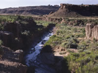
Arroyos
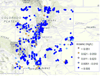
Arsenic
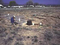
Collapsible Soils
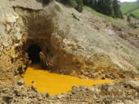
Contamination
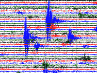
Earthquakes
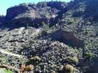
Mass-wasting
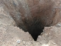
Mine Hazards
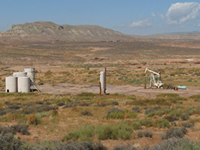
Oil-Field Hazards
226Rn
Radon
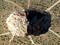
Sinkholes
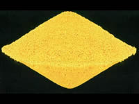
Uranium Legacy
