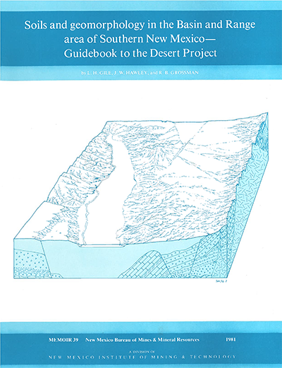
Memoir 39—Soils and geomorphology in the Basin and Range area of southern New Mexico: Guidebook to the Desert Project

By L. H. Gile, J. W. Hawley, and R. B. Grossman, 1981, 222 pp., 79 tables, 98 figs., 2 oversize sheets, 1 index.
This book is intended primarily for use in field-study tours of the Desert-Soil Geomorphology Project of the U.S. Soil Conservation Service (informally termed the Desert Project) in Doña Ana County, southern New Mexico. Main purposes are to illustrate major soils and landscapes of the project area, to illustrate principles of soil and landscape evolution in basin-and-range topography, to show the landscape positions in which the soils are most likely to occur, to describe soil development, and to illustrate the United States system of soil taxonomy as it applies to desert soils of the region.
The Desert Project encompasses a 400-mi2 area near Las Cruces and includes a segment of the Rio Grande valley and parts of adjacent intermontane basins. Soil Survey Investigations field and laboratory studies were initiated in 1957; work was done in cooperation with the New Mexico State University College of Agriculture and the New Mexico Bureau of Mines and Mineral Resources. It represents one of the most comprehensive studies of soils and landscapes ever undertaken in an arid to semiarid region. The Desert Project is similar to many other areas in terms of terrain, soil parent materials, range in age of soils, and general climatic and geologic history. Thus principles of soil and landscape evolution worked out at the Desert Project will have widespread application. A number of formal field-study tours were held during progress of the research, and the Desert Project has proved to be of valuable study and training ground for a variety of professional workers and students. Field trip participants have included agronomists, anthropologists, biologists, foresters, geomorphologists, geologists, hydrologists, range scientists, and soil scientists. Numerous requests have been received for copies of previous field guides that are out of print. These were printed only in limited numbers and were much less comprehensive in scope than the present volume, which is intended to serve as permanent guide to many of the detailed study sites of the Desert Project.
Field investigations included mapping the soils, geomorphic surfaces, and surficial deposits at a scale of 1:15,840. In addition, detailed studies at larger scales were conducted along selected transects. Joint laboratory and field investigations included studies of characteristics and genesis of a number of soils and soil horizons, radiocarbon dating of pedogenic carbonates and organic carbon, and studies of the effect of additions from dustfall to soil genesis and morphology. Since 1965, project investigations have been done in cooperations with the New Mexico Bureau of Mines and Mineral Resources; and since 1967, all major reports on geologic phases of the project have been published either by or with support of the Bureau. In 1977 the Desert Project became a formal part of the Bureau's environmental geology program, which includes sponsorship of this and future field-study tours.
The Desert Project has been a good study and training ground for a wide variety of workers. The project area is similar to many arid and semiarid regions in terms of terrain, parent materials for soil, range in age of soils, and general climatic history. Thus principles of soil and landscape evolution worked out in the Desert Project also apply to many areas other than the southwest United States. A number of formal field-study tours were held during progress of the research. In addition to this memoir and several journal articles written during progress of the research, the Desert Project soil monograph has been written on the project as a whole, which may be attained from the National Technical Information Service. Complete laboratory analyses, details for methods of analyses reported in this book, many pedon descriptions, a list of all soils observed in the project area, and a detailed map of the entire project area may be found in this monograph. A final report on late Cenozoic geology of the project will be written after detailed mapping of the bedrock areas is complete. Companion to Bulletin 142.
$21.00
Buy
Now
Also available as a free download.
Download
| File Name | Size | Last Modified |
|---|---|---|
| Memoir_39.pdf | 45.99 MB | 01/19/2021 10:00:57 AM |
| Memoir_39.zip | 45.68 MB | 01/19/2021 10:01:51 AM |
| Sheets: | ||
| Memoir-39_Sheet2.pdf | 1.09 MB | 01/19/2021 10:01:16 AM |
| Memoir39_Sheet1.pdf | 505 KB | 01/19/2021 10:01:22 AM |


