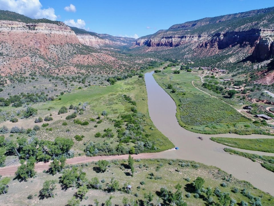
Drone view upstream of the confluence of the Rio Gallina and the Rio Chama

Image taken:
2017
by: Matt Zimmerer
©
2017
New Mexico Bureau of Geology and Mineral Resources
Longitude: -106.681079323
Latitude: 36.3690464083
(WGS 84 or NAD 83)
About this image
The Rio Chama has cut a deep canyon through Mesozoic rocks in North-central New Mexico. Our Rio Chama river guide contains a wealth of information about the geology and human history of the area.
Location
This photo was taken just downstream of the Benedictine Abbey of Christ in the Desert, which is visible on the right.
Image posted: 12-17-2021


