


GM-13 — Reconnaissance Geologic Map of Alum Mountain Thirty-minute Quadrangle
We are a research and service division of:
By Max E. Willard, Robert H. Weber, Frederick J. Kuellmer, 1961, scale 1:126,720.
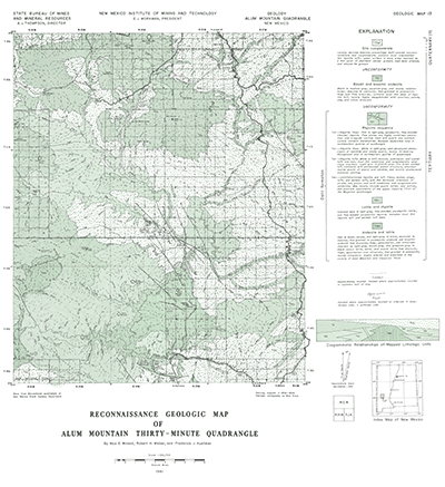
This map covers the a large portion of the Gila Wilderness and Gila National Forest and is centered around the Gila Cliff Dwellings National Monument. The map extends from just north of Silver City to just north of Beaverhead, New Mexico. Tertiary igeneous rocks compose most of the mapped area which are overlain by extensive deposits of the Gila Conglomerate.
Related 30-minute geologic maps of this region include:
- GM-1 — Hillboro Peak
- GM-2 — Luera Spring
- GM-3 — Piñonville
- GM-5 — Datil
- GM-6 — Cañon Largo
- GM-10 — Mogollon
- GM-12 — Reserve
- GM-14 — Las Cruces
- GM-15 — Virden
- GM-23 — Pelona
$3.25
Buy
Now
Also available as a free download.
Download
| File Name | Size | Last Modified |
|---|---|---|
| GM-13_map.pdf | 7.90 MB | 02/05/2021 02:50:01 PM |
| TIFF: | ||
| GM-13_map-pal.tif | 5.64 MB | 09/19/2018 01:16:00 PM |
| GM-13_map.tif | 38.03 MB | 09/19/2018 01:14:40 PM |