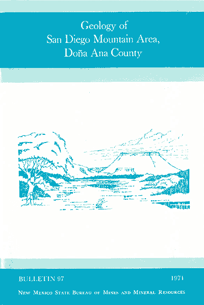
Bulletin 97—Geology of the San Diego Mountain area, Dona Aña County, New Mexico
By W. R. Seager, J. W. Hawley, and R. E. Clemons, 1971, 38 pp, 3 figs., 2 plates, 1 appendix, 1 index.

Companion to Bulletins 100 and 101. Barite and fluorite deposits provided the earliest impetus for studying San Diego Mountain. Located in north-central Doña Ana County along the east side of the Rio Grande river about 25 mi north of Las Cruces, the mountain is a broad sandstone-capped peak that rises about 1,000 ft above the adjacent flood plain. The San Diego Mountain area in north-central Doña Ana County includes two small en echelon uplifts, the Tonuco uplift and West Selden Hills uplift, both located along the eastern side of the Rio Grande a few miles southeast of Hatch. In the Tonuco uplift Precambrian granite and lower Paleozoic Bliss Sandstone and El Paso Group, deformed during the Laramide, are overlain with angular unconformity by more than 8,000 ft of less deformed Tertiary volcanics and sedimentary rocks. Tertiary rocks were deposited in three different tectonic settings. Limestone-granite boulder conglomerate of the Love Ranch Formation, which forms the base of the Tertiary section, apparently is an orogenic deposit derived from erosion of Laramide folds and fault blocks. In several places the conglomerates are in contact with their deformed source beds. The lower and middle part of the Tertiary section comprises products of Eocene-Miocene volcanic activity in south-central New Mexico.
Three main volcanic sequences are recognized in the San Diego Mountain area: 1) about 2,000 ft of andesite flows, tuffs, tuff-breccias, and associated sedimentary rocks of the Palm Park Formation and andesite-latite sequence which overlap the Love Ranch Formation, Paleozoic and Precambrian rocks; 2) nearly 900 ft of rhyolite pebble breccia of the Thurman Formation and ash-flow tuffs of the Bell Top Formation that overlie the andesitic rocks; 3) sparse dikes of basaltic andesite that may be feeders for, or otherwise associated with, the Uvas Basalt of the Broad Canyon-Sierra de Las Uvas region. The upper 5,300 ft of the Tertiary section consists of clastic rocks formed in late Tertiary graben basins in the Rio Grande trough. In the San Diego Mountain area, the base of this section appears conformable with the underlying volcanics, although it is strikingly disconformable where the basin-fill units overlap their source uplifts along graben margins. The bulk of the basin-fill clastics are included in the Santa Fe Group. The Hayner ranch Formation, about 2,800 ft thick in the Tonuco uplift, forms the lower part of the Santa Fe Group and consists of volcanic-derived fluvial sandstone and conglomerate.
Geologic structures include those of Laramide and late Tertiary age. The Precambrian core and folded lower Paleozoic strata exposed in the Tonuco uplift may be part of a large amplitude, north-striking fold that was deeply eroded and partially buried by Love Ranch conglomerates during Laramide time. A marginal thrust and recumbent fold exposed on the eastern flank of the structure indicate motion away from the axis and may be gravitational in origin. The most important late Tertiary structures are three high-angle normal faults that collectively formed the Tonuco uplift. The core of the uplift is a spindle-shaped horst comprised of Precambrian rocks, and which earlier was part of the core of the Laramide fold. The geometry of low-angle faults and drag folds exposed in rocks both on the core and in adjacent depressed blocks suggests that much of the low-lying moderately deformed rocks adjacent to the core slid to their present position from the core along low-angle fractures, probably in response to a major period of uplift.
Mineral deposits in the Tonuco uplift consist of barite and fluorite occurring in thin discontinuous veins mainly in Precambrian rocks. Small tonnages of ore have been shipped from some of the larger veins in the past but the area lies idle now and substantial reserves of either mineral don't appear to be present. Companion to Bulletins 100 and 101.
$6.50
Buy
Now
Also available as a free download.
Download
| File Name | Size | Last Modified |
|---|---|---|
| Bulletin97.pdf | 5.95 MB | 01/15/2021 10:46:54 AM |
| GeoPDF: | ||
| Bulletin97GEOpdf.pdf | 13.96 MB | 08/06/2021 12:13:07 PM |
| GISdata: | ||
| Bulletin97.mpk | 63.31 MB | 08/06/2021 12:54:37 PM |


