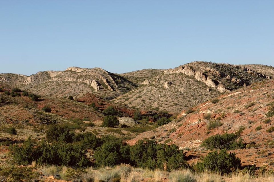
Limestone Ridge in the Quebradas

Overturned Madera Group limestone beds in the Quebradas with reddish Permian rocks in the foreground.
Image taken:
10/25/2005
by: Peter Scholle
©
2005
UTM Easting: 336106 m
UTM Northing: 3769220 m
(Zone: 13S)
Longitude: -106.775699
Latitude: 34.050882
(WGS 84 or NAD 83)
About this image
View to the southwest from Stop 5 in our "Geologic Guide to the Quebradas Back Country Byway" showing reddish Permian rocks (foreground) and cyclic bedding in Madera Group limestones (background). These strata have undergone Tertiary-age folding
and thrust faulting, and the limestones now have a near-vertical orientation.
[See more information related to this image...]
Location
The Quebradas is east of Socorro, NM.
Image posted: 12-17-2021


