Maps
Maps are an essential tool for conveying information about natural resources, geologic hazards, and geologic history. One important role of the New Mexico Bureau of Geology & Mineral Resources (NMBGMR) is in the production and distribution of geologic and other types of maps. Many of our staff are involved in map production through our STATEMAP program and our Cartography/GIS group is responsible for producing the finished products.
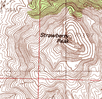
- Topographic maps show the terrain
and are often used as a base for other maps (we carry a complete collection
of NM topo maps). If you have a GPS receiver,
you might find our free GPS overlay grids helpful.
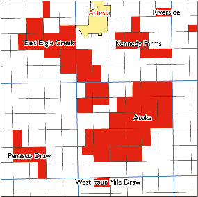
- Maps concerned with natural resources:
- Atlas of major Rocky Mountain gas reservoirs
- Petroleum Exploration Maps (available for most counties in NM
- Resource maps showing the extent and distribution of our state's natural resources
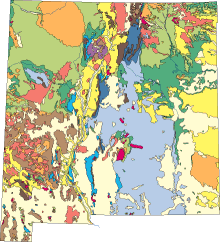
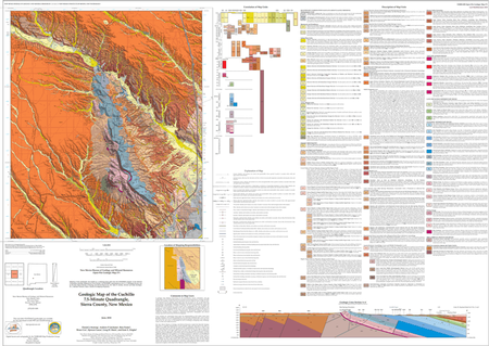
- Geologic maps show the relationships
in space and time of earth materials (see 'What
is a geologic map and what are they used for?')
- Our Memoirs, Bulletins, and Hydrologic sheets are another source for geologic and other types of maps as well as detailed geoscience research.
(more information)
