Aquifer Mapping Program: Story Maps
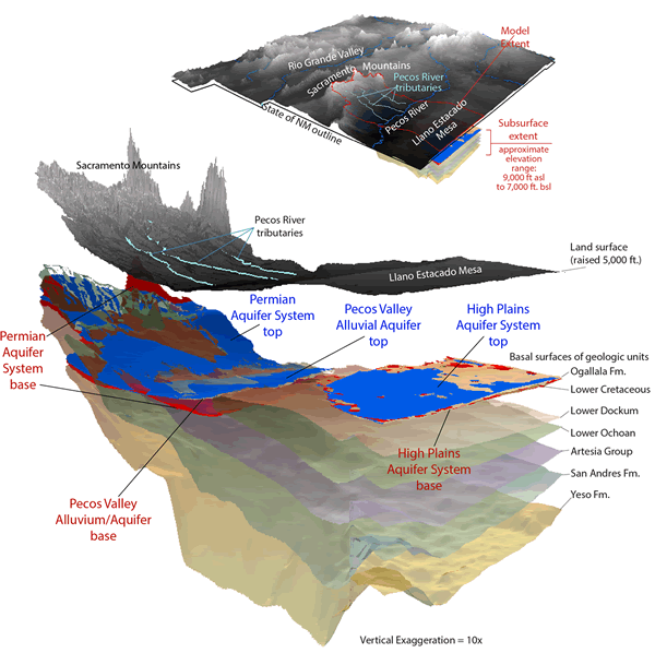
Story maps are a particularly engaging and interactive way to present spatial data. They combine a narrative flow with GIS (Geographic Information System) data and other media to provide an interactive learning experience. The Aquifer Mapping Program (AMP) has produced these story maps about New Mexico's water resources:
- Groundwater in New Mexico: Our precious shared resource
- Estancia Basin: Geology and Groundwater
- Pecos Slope Groundwater

For More Information, Contact
Aquifer Mapping Program Manager — Laila Sturgis, (575) 835-5327


