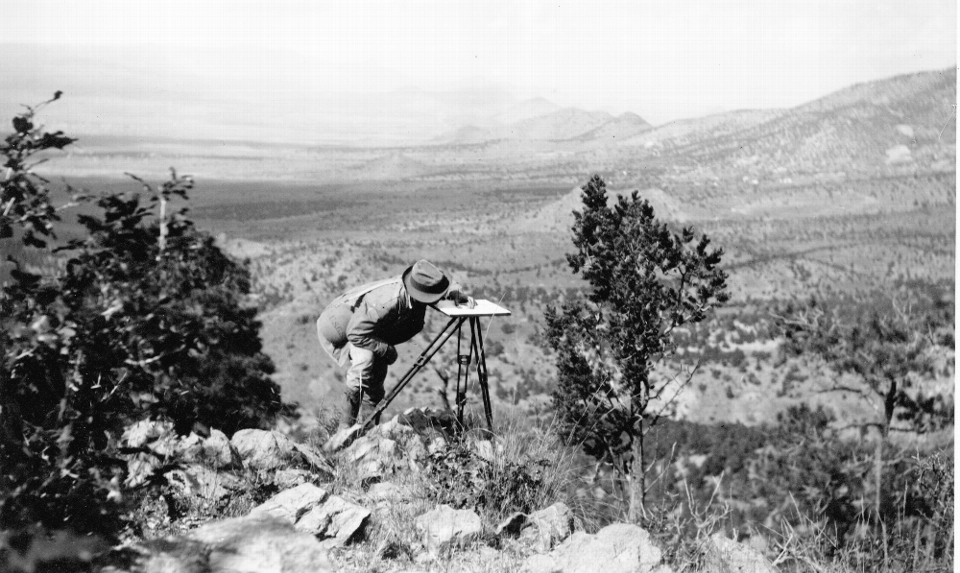
Surveying in the Magdalena Mining District

G.F. Lauglin locating point with plane table on a rhyolite spur south of South Camp in the Magdalena mining district
Image taken:
1916
by: G. F. Loughlin
©
1916
New Mexico Bureau of Geology and Mineral Resources, Historic Photograph Archives
Longitude: -107.221266
Latitude: 34.100243
(WGS 84 or NAD 83)
About this image
Early geologists used a plane table and alidade to create topographic maps as a base for geologic mapping. The widespread availability of topographic maps, photogrammetry, and LIDAR have made this method of mapping obsolete.
Image posted: 12-17-2021


