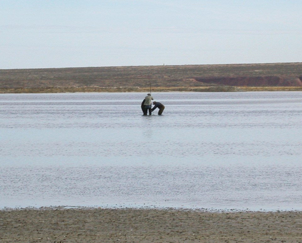
Coring Bitter Lake

Coring in the Bitter Lake National Wildlife Refuge
Image taken:
06/21/2007
by: Lewis Land
©
2007
Longitude: -104.413384
Latitude: 33.475182
(WGS 84 or NAD 83)
About this image
Bureau geologists (Dr. Bruce Allen w/ back to photo and David McCraw to right) and USFWS Hydrologist Paul Tashjian prepare to extract a core of lake bed sediments for sedimentologic, climatic, and environmental analysis from the center of Bitter Lake, Bitter Lake National Wildlife Refuge. The red bluffs in the distance lie east of the Pecos River and are composed of interbedded red mudstone, siltstone, and gypsum from Permian Artesia Group sediments.
Image posted: 12-17-2021


