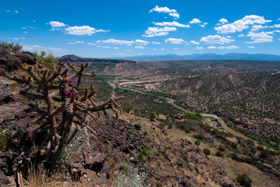
White Rock Canyon

White Rock Canyon
Image taken:
06/11/2013
by: Matthew Zimmerer
©
2013
Longitude: -106.193775251
Latitude: 35.799329822
(WGS 84 or NAD 83)
About this image
White Rock Canyon dissects the north-eastern flank of the Jemez Mountains and exposes several interesting volcanic features and other geology. In this view, from the south side of White Rock, Black Mesa is capped by basalt flows of the Cerros del Rio Volcanic Field. High peaks of Proterozoic basement in Santa Fe range are in the background.
The Rio Grande is often wide and shallow at Buckman Crossing, where the dry wash comes in below Black Mesa. This river ford was along a route from Santa Fe to the Pajarito Plateau. Now, this is the site of the Buckman diversion project where the City of Santa Fe obtains surface water for municipal consumption.
Location
White Rock Canyon
Camera Details
NIKON CORPORATION NIKON D60 12.0-24.0 mm f/4.0 Exposure: 13.0 mm (35mm equiv: 19mm) f/11.0 1/399 sec ISO 200.
Image posted: 05-31-2023


