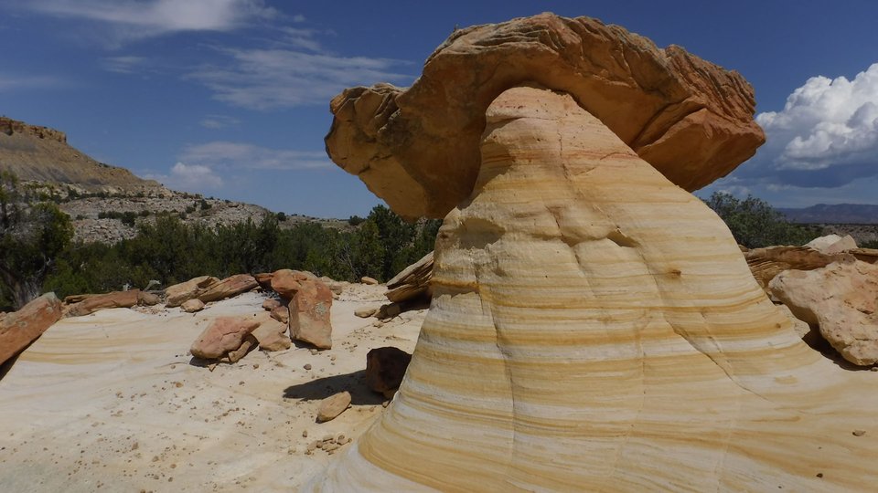
Hoodoo in the Ojito Wilderness

Hoodoo on the Hoodoo Trail in the Ojito Wilderness
Image taken:
09/09/2018
by: Adam Read
©
2018
Longitude: -106.922373176
Latitude: 35.4943727566
(WGS 84 or NAD 83)
About this image
There are several hoodoos formed in Cretaceous sandstones along the Hoodoo Trail in the Ojito Wilderness. See the BLM Ojito Wilderness website for more information. Hoodoos are formed when harder rocks are underlain by softer rocks that are less resistant to erosion. The harder rock can protect the softer rock beneath it until the hoodoo becomes unbalanced and topples.
Location
The trailhead for the Hoodoo Trail is 400 feet NE of a parking area off Cabezon Road. Zoom in on the map to see more detail.
Image posted: 10-29-2019


