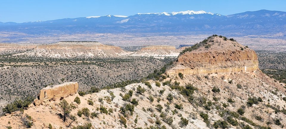
Rio Grande Rift in northern New Mexico

Rio Grande Rift, looking east, with Jemez volcanics of the Pajarito Plateau in the foreground, and the Sangre de Cristos on the horizon.
Image taken:
03/29/2021
by: Richard Kelley
©
2021
Longitude: -106.274047885
Latitude: 35.8877149709
(WGS 84 or NAD 83)
About this image
The Bandelier tuff dominates the landscape in much of the Jemez Mountains, particularly in the vicinity of Los Alamos, NM. There were two massive ignimbrite eruptions, the first was 1.6 million years ago and the second was 1.2 million years ago. These eruptions formed the lower and upper Bandelier tuff respectively.
For more information, see our geologic tour of the Valles Caldera National Preserve.
Image posted: 06-19-2021


