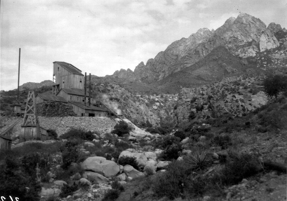
Modoc Mine and Mill

Modoc mine and mill in the Organ Mountains in Dona Ana County, New Mexico, 1905
by: W. Lindgren
©
New Mexico Bureau of Geology and Mineral Resources, Historic Photograph Archives
USGS photo by W. Lindgren, no. 362, New Mexico Bureau of Geology and Mineral Resources, Historic Photograph Archives, Socorro, New Mexico
UTM Easting: 351339 m
UTM Northing: 3579661 m
(Zone: 13S)
Longitude: -106.579716
Latitude: 32.343981
(WGS 84 or NAD 83)
Image posted: 12-17-2021


