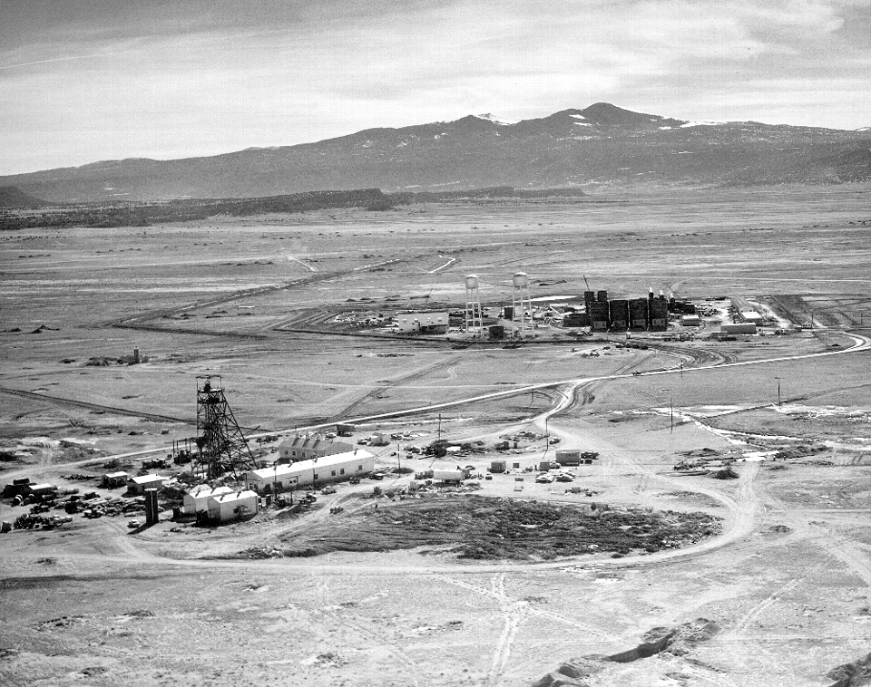
Aerial View of Ann Lee Uranium Mine

Image taken:
02/02/1958
©
1958
New Mexico Bureau of Geology and Mineral Resources, Historic Photograph Archives
Courtesy of Bill Chenoweth, U.S. Department of Energy
Longitude: -107.795892
Latitude: 35.414197
(WGS 84 or NAD 83)
About this image
Aerial View of Phillips Petroleum Ann Lee mine and Ambrosia mill near Ambrosia Lake, New Mexico
Location
Near Ambrosia Lake, NM Section 28, T. 14N., R. 9W.
Image posted: 12-17-2021


