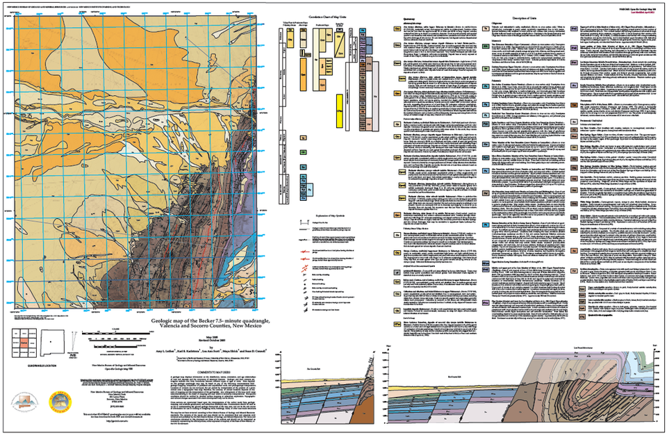
Becker Quadrangle

Geologic Map of the Becker Quadrangle
©
New Mexico Bureau of Geology and Mineral Resources
Longitude: -106.615578
Latitude: 34.496175
(WGS 84 or NAD 83)
About this image
The Becker quadrangle covers the west entrance to Abo Pass between the Manzano and Los Piños Mountains. The Montosa fault, an extensionally reactiveated Laramide normal fault is well exposed here and easily visible from US 60. This quadrangle was mapped by Amy L. Luther, Karl E. Karlstrom, Lea Ann Scott, Maya Elrick, and Sean D. Connell in 2005 as part of the STATEMAP Program.
[See more information related to this image...]
Image posted: 12-17-2021


