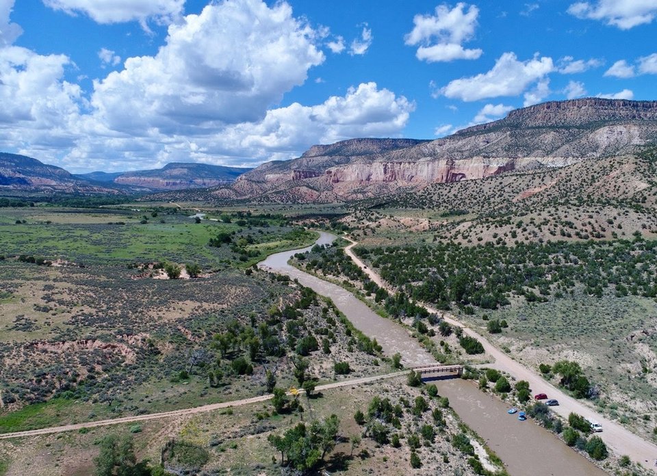
Drone view upstream of Bridge rapid on the Rio Chama

The Rio Chama valley exposes a thick Mezosoic section from the Chinle to the Dakota.
Image taken:
2017
by: Matt Zimmerer
©
2017
New Mexico Bureau of Geology and Mineral Resources
Longitude: -106.625264883
Latitude: 36.3295580724
(WGS 84 or NAD 83)
About this image
The Rio Chama has cut a deep canyon through Mesozoic rocks in North-central New Mexico. Our Rio Chama river guide contains a wealth of information about the geology and human history of the area.
Image posted: 12-17-2021


