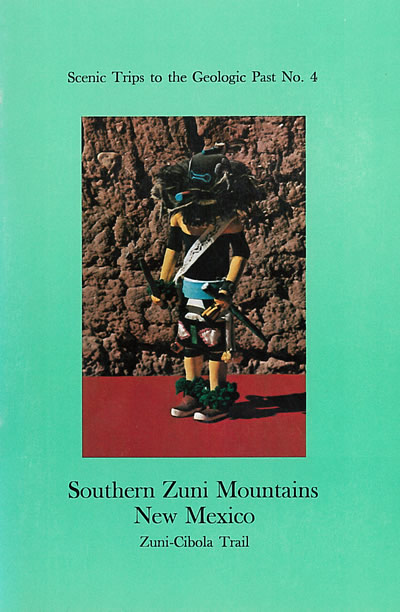
Scenic Trips to the Geologic Past #4
Southern Zuni Mountains, Zuni–Cibola Trail

By R. W. Foster, 1925, revised and expanded 1971, reprinted in 1984, 75 pp., 76 figs. From the uranium-mining town of Grants on I-40, five individual road logs make a 100-mile loop south through the San Rafael Valley, then west around the southeastern tip of the Zuni Mountains, and then back north to Gallup. Along the route are such attractions as the lava flows of El Malpais National Monument and Conservation Area; Bandera crater, one of dozens of extinct volcanoes in the area; and the Ice Caves, lava caves with perpetual ice. The highway crosses the Continental Divide at an elevation of 7,882 feet and descends into El Morro National Monument, a legendary stopping place and permanent water hole for prehistoric Indian, Spanish, and American travelers. The loop is completed by driving north to Gallup, famed for its annual Inter-Tribal Indian Ceremonial held in late summer. Before turning north towards Gallup, a short 25 mi drive (50 mi round trip) farther west and south takes today's traveler to Zuni Pueblo, past the majestic, sacred Taaiyalone Mesa, and on to Hawikuh ruins and Ojo Caliente. This handbook includes detailed discussion of the peoples that have occupied this area since the prehistoric time and an outline of the geologic history that has shaped the landscape we see today. A summary of the geologic, archaeologic, and recent events that have shaped the landscape and culture along the Zuni-Cibola Trail. Road logs of five recommended side trips.
$10.00
Buy
Now


