


RM-12 — Satellite Photomap of New Mexico
We are a research and service division of:
compiled by U.S. Agricultural Stabilization and Conservation Service, 1983, Scale 1:1,000,00 (reprinted 1995)
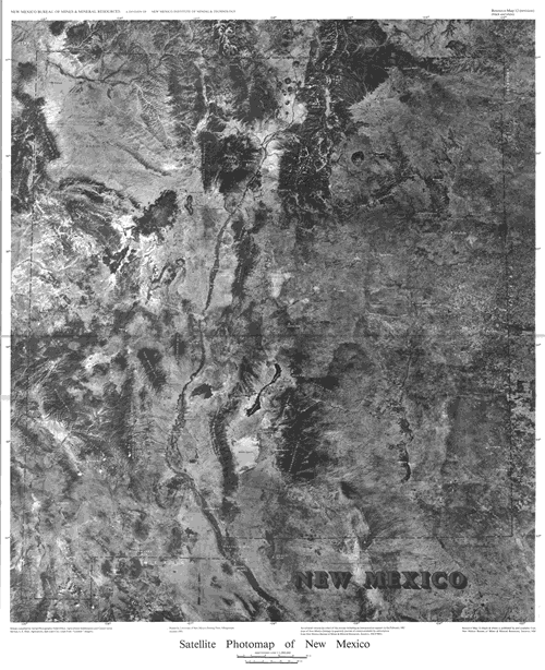
This black and white LANDSAT imagery mosaic of New Mexico shows populations centers and major landmarks.
Note: This map was superseded by RM-23.
superseded by RM-23
This publication is out-of-print.
Available as a free download.
Available as a free download.