


Geology of Jornada Del Muerto coal field, Socorro, New Mexico
We are a research and service division of:
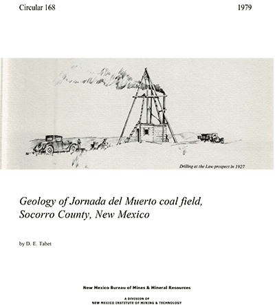
By D. E. Tabet, 1979, 19 pp., 1 table, 2 figs., 2 appendices, 1 sheet, scale 1:62,500.
Describes geology, coal beds, and limited drill-hole data. Five miles northeast of the Carthage coal field in eastern Socorro County, coal-bearing rocks crop out in a northwest-trending strip of land 12 mi long and 0.5 mi wide along the northwest edge of the Jornada del Muerto Basin. The area can be reached by traveling north from U.S. 380 on the Del Curto or Willaims Ranch roads that lie approximately 10 and 20 mi east of San Antonio. The northern part of the area consists of north-south ridges of sandstone with valleys underlain by shale. Elevation ranges from 6,200 ft above sea level in the north to 5,100 ft above sea level in the southeastern part of the field. In the north relief is as great as 300 ft, whereas to the south the ridges pass into gently rolling hills and valleys and the maximum relief is about 60 ft.
The area is drained by Cañon Quemado, a large intermittent stream that parallels the north-south sandstone ridges. Numerous small intermittent tributaries join the main drainage along its course. Vegetation in the area consists primarily of range grasses in the lower, nearly level southern portion and grasses along with piñon, juniper, and scrub oak on the higher slopes and hilltops in the north. Cacti of various types are common. Population in the area is limited to a few ranching families. Most of the land composing the Jornada coal field is under U.S. Bureau of Land Management administration.
In the northern part of the Jornada del Muerto Basin, coal-bearing Upper
Cretaceous rocks are exposed on the westward-dipping limb of the south-plunging
anticline. This faulted exposure measures 0.5 mi east-west and 12 mi north-south.
The dip on the west limb ranges from 20º to 40º SW. Lenticular
coal beds occur in rocks of the Mesaverde Group that are tentatively correlated
with the Dilco Member of the Crevasse Canyon Formation. Maximum thickness
of a coal bed in the northern part of the field is 20"; however, in
the middle of the field, the coal in the Law mine is 28" thick. Coal
beds in the southern half of the field are covered by Quaternary sediments.
Chemical analysis indicates that the coal from the Law mine is a high-volatile
C-bituminous coal with a sulfur content of 1.3% to 1.4% and is similar to
the coking coal produced in the Carthage area to the southwest. Coal from
the Law mine produces a poor to fine coke and relatively high amounts of
light oil and gas. Because little mining and exploration has been done in
the Jornada field, production records are not available. Coal beds in the
Jornada field may thicken to the southwest toward the Carthage area, but
further drilling would be required to prove thickening. Limited drill-hole
data and unpublished gravity data indicate that the coal between the Carthage
and Jornada fields is more than 1,000 ft deep.
$6.00
Buy
Now
Note: availability of this item
is limited!
Also available as a free download.
Download
| File Name | Size | Last Modified |
|---|---|---|
| Circular-168.pdf | 1.23 MB | 01/11/2021 03:37:03 PM |