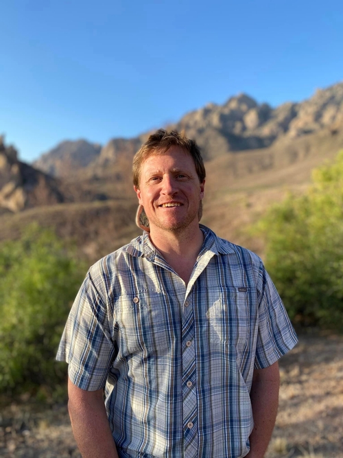
Dr. Matthew Zimmerer
Jump To:

New Mexico Bureau of Geology & Mineral Resources
New Mexico Institute of Mining & Technology
801 Leroy Place
Socorro NM 87801-4796
575-835-5114
(575) 835-6333 fax
I am the Geologic Mapping Program Manager and a researcher at the New Mexico Bureau of Geology and Mineral Resources (NMBGMR). As manager of the mapping program, I work closely with our mappers and map production team to produce high-quality, modern geologic maps that address socioeconomical issues in the State. I am also responsible for acquiring grants and contracts to fund our mapping program. A major funding mechanism is the STATEMAP Program, which itself is part of the National Cooperative Geologic Mapping Program. I seek guidance from our STATEMAP Advisory Committee, a diverse group of stakeholders who identify regions of interest for detailed geologic mapping and derivative projects.
My primary research interests include using geochronology and field-based methods to understand volcanic processes. Most recently, I am applying the 40Ar/39Ar and U/Pb dating techniques to develop a comprehensive, accurate, and precise geochronology of Quaternary eruptions in New Mexico to assess volcanic hazards and landscape evolution throughout the region. I have several ongoing studies related to mid-Cenozoic volcanism and magmatism throughout New Mexico and Colorado that focus on topics such as the timing of precaldera volcanism with respect to caldera-forming eruptions, links between the volcanic and plutonic records, and the timing of mineralization during magmatic flare-up. I also have several projects focused on volcanism and ice sheet history in West Antarctica. Lastly, I am a FAA remote pilot and use small unmanned aircraft systems (sUAS) for geologic mapping and monitoring changing landscapes.
In addition to an management and research, I participate in a variety of outreach and teaching opportunities. From time to time I am an instructor for the highly successful “Rockin’ Around New Mexico” workshop for K-12 teachers. I work with NASA to teach geologic mapping and related field techniques to astronauts, managers, flight directors, and engineers. I am an adjunct faculty in the Earth and Environmental Sciences department where I advise students and occasionally teach classes. I regularly give lectures for professionals and the general public. Finally, I enjoy combining my passion of photography and general interest writing to assist with bureau publications and outreach projects, such as the Southern Parks Book and The Rio Chama guidebook.
(See Curriculum Vitae)
Education
- B.S., 2005, University of Kentucky
- M.S., 2008, New Mexico Tech
Thesis: The 40Ar/39Ar geochronology and thermochronology of the Latir volcanic field and associated intrusions: Implications for caldera-related magmatism - Ph.D., 2011, New Mexico Tech
Dissertation:The Volcanic-Plutonic relationship at three contrasting Rio-Grande-Rift-Faulted Calderas
Projects
- Age-based assessment of volcanic hazards in New Mexico
- Timescales of magmatism in the Southern Rocky Mountain and Mogollon-Datil volcanic fields
- Landscape evolution of the southwest using volcanic eruptions and geochronology
- Geologic mapping of volcanic and magmatic systems in New Mexico
- Volcanic and ice-sheet evolution of West Antarctica
- Drone photogrammetry
- Field geology training for NASA


