


Image of the Day — Socorro Peak from the south
We are a research and service division of:
Posted: Tuesday, March 11, 2025

Soocorro Peak from the south
by: Richard Kelley
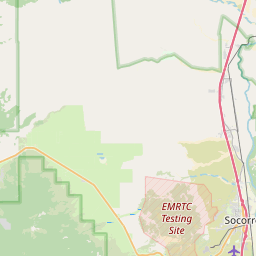
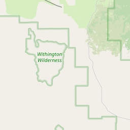


10 km
5 mi
Leaflet | © OpenStreetMap, Tiles © Esri — Source: Esri, i-cubed, USDA, USGS, AEX, GeoEye, Getmapping, Aerogrid, IGN, IGP, UPR-EGP, and the GIS User Community, Map data: © OpenStreetMap, SRTM | Map style: © OpenTopoMap (CC-BY-SA)
Longitude: -106.983713
Latitude: 33.995067
(WGS 84 or NAD 83)
About this image
Great view of volcanic stratigraphy of the Socorro Peak area, viewed from the south, looking north.
Camera Details
.
Image posted: 05-20-2023