


Circular 169—Geology of Good Sight Mountains and Uvas Valley, Southwest New Mexico
We are a research and service division of:
By R. E. Clemons, 1979, 31 pp., 1 table, 23 figs., 2 appendices, sheets, scale 1:48,000.
Describes the 435 mi2 area of the Good Sight Mountains and the Uvas Valley in Luna, Doña Ana, and Sierra Counties, New Mexico; the geologic map covers the western part of the Good Sight-Cedar Hills volcano-tectonic depression of Oligocene age. The map area includes the Lazy E Ranch, Myndus, Good Sight Peak, and Good Sight Peak NE 7½-min quadrangles, as well as the southern half and northwest quarter of the Nutt 15-min quadrangle. This area is in the northern part of the Mexican Highlands section of the Basin and Range physiographic province. Access to the area is provided by ranch roads connecting with exits on I-10 between Las Cruces and Deming, NM-26 between Hatch and Deming, and NM-27 between Nutt and Lake Valley.
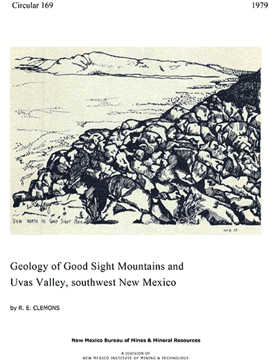
The northern end of the Good Sight Mountains are about 9 mi east-southeast of Lake Valley. From there they continue south for 30 mi, ranging from 3 to 5 mi in width. The southern end curves eastward, around the south end of the Uvas Valley, and connects with the southwestern prong of the Sierra de Las Uvas about midway between Las Cruces and Deming. Elevations range from high points of 5,940 ft at Nutt Mountain and 5,602 ft at Good Sight Peak in the northwestern part of the area and 5,500 ft on the west flank of the Sierra de Las Uvas in the northeast part to a low point about 4,140 ft near Myndus in the southwest corner. Peaks along the crest of the Good Sight Mountains are mostly between 4,700 and 5,100 ft toward the south and 5,000 and 5,600 ft toward the north. Elevations of the Uvas Valley are between 4,460 and 4,600 ft. Thus, relief on the east flank of the mountains is 300–500 ft less than on the bold western escarpment.
Footslopes extending 3–6 mi southwestward away from the base of the
range into the Mimbres Basin are broad pediments. Quaternary fan gravels
of variable thicknesses and eolian sand mantle the undissected pediment.
That only a few small exposures of bedrock occur more than a mile from the
main mass of the mountains provides evidence for the thorough pediment development
and thin pediment cover. Bedrock was recorded at 200-ft depths in two water
wells near Akela, about 5 mi southwest of the Good Sight Mountain escarpment.
The pediment narrows northward to less than 0.5 mi northwest of Good Sight
Peak where Macho Arroyo hugs the mountains. At this point, broad pediment
and alluvial fan deposits rise westward for about 11 mi to the southern
Cooke's Range. Interior drainage covers the map area except in the extreme
northeast and northern parts where arroyos are tributary to the Rio Grande.
$9.00
Buy
Now
Note: availability of this item
is limited!
Also available as a free download.
Download
| File Name | Size | Last Modified |
|---|---|---|
| Circular-169.pdf | 8.81 MB | 01/11/2021 03:37:12 PM |
| GIS Data: | ||
| Circular-169_GoodSightMountains.mpk | 15.16 MB | 02/28/2025 05:15:28 PM |