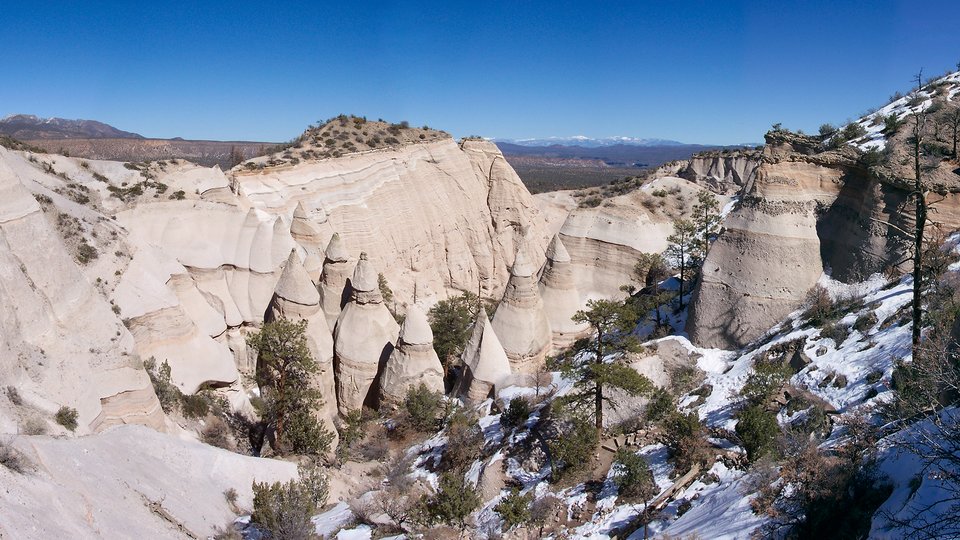
Kasha-Katuwe Tent Rocks National Monument

View to east from the top of the slot canyon with the Truchas Peaks in the distance
Image taken:
06/08/2016
by: Adam Read
©
2016
Longitude: -106.41276
Latitude: 35.66711
(WGS 84 or NAD 83)
About this image
Kasha-Katuwe Tent Rocks National Monument is located approximately 40 miles southwest of Santa Fe and 55 miles northeast of Albuquerque (Figure 2). From Albuquerque, drive north on Interstate-25 to Exit 259 to the Santo Domingo/Cochiti Lake Recreation Area. Head northwest on NM Highway 22 and follow the signs to Cochiti Pueblo (turning left after crossing the Rio Grande). Turn right at the pueblo water tower onto Tribal Route 92, which connects to Forest Service Road 266. Travel 5 miles on a maintained, but often washboard, dirt road to the monument parking area (marked with a sign). From Santa Fe, take the Cochiti Pueblo (Exit 264) off I-25 onto NM 16. Turn right from NM 16 onto NM 22, and follow the route described above to Cochiti Pueblo and the national monument. The BLM charges a fee to park here (paid at a self-service kiosk).
Image posted: 10-29-2019


