Image of the Day — Dr. Shari Kelley in the field
Posted: Monday, September 16, 2024

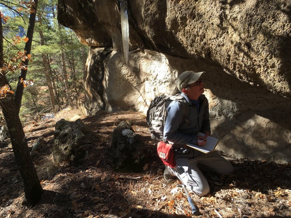
Dr. Shari Kelly examining the tuffs within Water Canyon, near Mount Taylor.
Image taken:
11/25/2019
by: Bonnie Frey
©
2019
New Mexico Bureau of Geology and Mineral Resources
Longitude: -107.50946
Latitude: 35.173808
(WGS 84 or NAD 83)
About this image
Dr. Shari Kelly examining the tuffs within Water Canyon, near Mount Taylor. Years of detailed mapping and other fieldwork by Dr. Shari Kelley and many others resulted in the publication of NMBGMR Geologic Map 80:
Geologic Map of Mount Taylor Volcano Area, New Mexico, Goff, Fraser; Kelley, Shari A.; Goff, Cathy J.; McCraw, David J.; Osburn, G. Robert; Lawrence, John R.; Drakos, Paul G.; Skotnicki, Steven J., 2019, 66 pages, Scale 1:36,000, ISBN: 978-1-883905-44-6. (One 62" x 44" folded sheet + 66 page booklet)
Image posted: 12-17-2021


