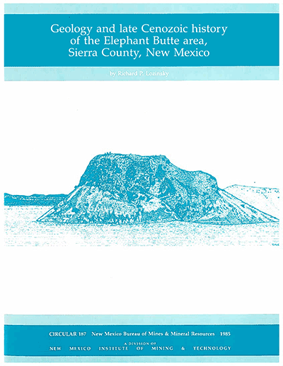
Circular 187—Geology and late Cenozoic history of the Elephant Butte area, Sierra County, New Mexico
By R. P. Lozinsky, 1986, 40 pp., 3 tables, 14 figs., 7 appendices, 2 sheets.

The main objectives of this study were to produce a geologic map of the Elephant Butte area and to interpret the late Cenozoic (Pliocene to Holocene) history of the Rio Grande in the vicinity of Elephant Butte Reservoir. This area is one of the few places along the Rio Grande rift where the Rio Grande has crossed a basin-bounding fault to cut into bedrock of the marginal uplifts, rather than continuing to cut into basin-fill sediments within the basin. The work on the Elephant Butte area was done in 1981–1982 as a MS thesis project at the University of New Mexico. The major emphasis of this report is on the late Cenozoic geology; however, all stratigraphic units and structures exposed within the area were mapped in order to better interpret the origin of the younger deposits. The area is a critical one for studies of the Rio Grande rift and evolution of the Rio Grande fluvial system for three reasons: (1) the location is at the junction between two intrarift basins and includes parts of three uplifts; (2) there are excellent exposures of upper Cenozoic basin fill, including deposits of the ancestral Rio Grande; and (3) this is one of the few places along the rift where the Rio Grande has migrated outside a basin to cut a channel within bedrock of an adjacent uplift. Included in this report is a seven-stage evolutionary history of the Elephant Butte area that covers the last 4–5 Ma. This study ties in with other work done on the Rio Grande rift between Hatch and Las Cruces, NM.
The main objectives of this investigation were to produce a geologic map of the elephant Butte area and to interpret the late Cenozoic history of the Rio Grande in the vicinity of Elephant Butte reservoir. The interpretation is based on an examination of the following: (1) faults, in order to establish the types and timing of faulting events; (2) upper Cenozoic volcanic deposits, in order to determine types and timing of eruptions; (3) upper Cenozoic sedimentary deposits, in order to determine provenance, mode of deposition, and ages; and (4) geomorphic features, in order to determine ages and processes that formed them.
A 256 km2; area surrounding the elephant Butte Reservoir, Sierra County, New Mexico, was mapped to interpret the late Cenozoic history. The interpretation is based on examining faults, geomorphic features, and upper Cenozoic sedimentary and volcanic units. Less then 10% of the study area is covered by Precambrian and Paleozoic units, approximately 40% is covered by upper Cretaceous units, and more than 50% is covered by Cenozoic units. The major Cenozoic sedimentary deposits are mapped as the Palomas Formation of the upper Santa Fe Group, which is divided into the piedmont and the axial facies. Other Cenozoic units include pediment, alluvial-fan, terrace, and eolian deposits.
Regional geomorphic surfaces include the erosional Cutter surface, located along the rift margin, and the constructional Cuchillo surface located within the rift. Five terrace levels occurring along the Rio Grande and Cuchillo Negro Creek and three pediment levels occurring along the Mud Springs Mountains are recognized and postdate the Palomas Formation. The Rio Grande is interpreted to have left the basin where it cut bedrock in the marginal uplifts by laterally cutting meanders at Long Point and Rattlesnake Islands and by stream piracy around Long ridge. Most structural features resulted from Laramide and Rio Grande rift tectonic activity. Palomas Formation deposition occurred from early Pliocene to middle Pleistocene. The Rio Grande became a through-flowing drainage system flowing within the basin by 3.8 Ma B.P. Initial incision of the Rio Grande during the middle Pleistocene ended Palomas Formation deposition, formed the Cuchillo surface, and marked the end of major episodic movement on the Hot Springs fault. Since the initial incision, the Rio Grande has undergone several incision episodes and has partly migrated out of the basin. Presently, the Rio Grande has the potential to reestablish its course within the basin.
$9.50
Buy
Now
Also available as a free download.
Download
| File Name | Size | Last Modified |
|---|---|---|
| Circular-187.pdf | 8.03 MB | 01/11/2021 03:42:56 PM |


