


Memoir 33—Geology of Albuquerque Basin, New Mexio
We are a research and service division of:
By V. C. Kelley, 1977, reprinted 1983, 1996, 59 pp., 9 tables, 24 figs., geologic map (scale 1:190,000) and tectonic map (scale 1:280,000) in pocket.
Discusses the Albuquerque Basin of central New Mexico, including stratigraphy, geomorphology, and structure. Companion to Geologic Map 48.
The Albuquerque Basin of central New Mexico is about 102 mi long (north-south) and 25-40 mi wide (east-west). The Rio Grande, rising in Colorado and emptying into the Gulf of Mexico, flows southward through the basin which is surrounded by diverse Laramide and late Cenozoic uplifts. Several structural benches are delineated within the basin; fault scarps face the trough in most places. Ends of the basin are formed by convergence of side boundaries toward narrower structural and depositional channels that connect with basins north and south. The basin fill consists of up to 12,000 ft of sandstone, mudstone, and gravel of the Santa Fe Formation or Group (Miocene–Pliocene). In the northern part the fill is divided into the units of Bryan and McCann (1937) named in this report Zia, Middle red, and Ceja members. Elsewhere the fill generally is not divisible but may include equivalents of Zia and Ceja. Several facies of Santa Fe such as fanglomerates, playa, and river deposits and dunes are present. Late Pliocene deformation widened the basin, elevated the uplifts, and locally faulted and folded the Santa Fe. The deformation was followed by widespread pedimentation producing the Ortiz surface. Pleistocene and Holocene rejuvenation, deformation, and widespread dissection destroyed most of the surface (probably early Pleistocene). New correlations of Ortiz remnants are presented and the surface reconstructed. Numerous new faults are mapped and classified by relative ages, and several new folds and warpings of erosion surfaces are identified.
The Albuquerque Basin is the middle part of the long Rio Grande valley which extends northward through the length of New Mexico. The area covered is 4,300 mi2 extends from near the junction of the Rio Salado on the south to La Bajada escarpment and the White Rock gorge of the Rio Grande on the north. The map area, including strips of the bordering uplifts, averages about 42 mi wide and 102 mi long. The basin proper between adjacent uplifts is 25-40 mi wide. The ends of the basin open through narrow valleys and structural bedrock constrictions into the San Marcial Basin to the south and Española Basin to the north. Albuquerque Basin as used in this report includes the Albuquerque-Belen Basin of Bryan (1938) and the Santo Domingo subbasin as delineated by Kelley (1952, p. 92).
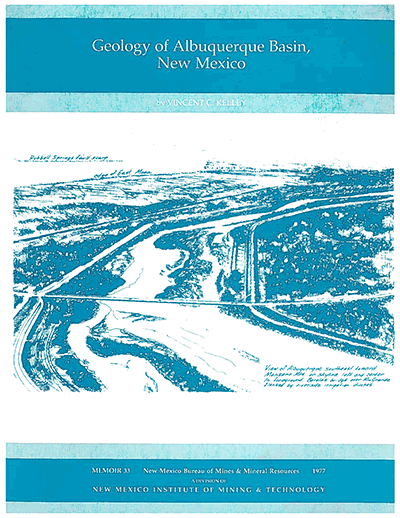
The Albuquerque Basin is one of a long line of basins or troughs which were designated by Bryan as the Rio Grande depression. This depression was so named because the Rio Grande drainage system followed the intermontane basins through most of their known extent. The Albuquerque Basin is drained by two principal longitudinal streams, the Rio Puerco in the western part and the Rio Grande in the eastern part. Both streams are entrenched to several hundred feet into a former high level of basin filling still preserved in the long, narrow Ceja Mesa divide between the two streams. Remnants of this formerly widespread surface are preserved in the marginal strips of mesas to the east and west of the two longitudinal valleys. The Rio Grande, which follows the length of the basin, descends from about 5,320 ft at the bounding La Bajada fault in White Rock gorge to 4,700 ft at the Rio Salado junction, an airline gradient of 5.9 ft/mi.
The principal uplift crests, along the eastern side of the basin, reach 10,678 ft at Sandia Crest. Altitudes and relief along the western side are much subdued by comparison, reaching 9,260 ft at one peak in the Ladron Mountains and 200-1,000 ft along the Lucero uplift. In a long stretch west of Albuquerque, there is no physiographic relief or rise at the structural edge of the basin. Absence of physiographic relief exists also locally along the eastern side of the basin north of the Sandia uplift.
$15.00
Buy
Now
This publication is out-of-print.
It is available on CD or DVD-ROM.
Also available as a free download.
Also available as a free download.
Download
| File Name | Size | Last Modified |
|---|---|---|
| Memoir-33.pdf | 16.52 MB | 01/19/2021 09:44:17 AM |
| Memoir-33.zip | 20.88 MB | 01/19/2021 09:44:53 AM |
| Maps: | ||
| Memoir-33_Geologic_Map.pdf | 4.89 MB | 01/19/2021 09:44:31 AM |
| Memoir-33_Tectonic_Map.pdf | 1.29 MB | 01/19/2021 09:44:41 AM |