


Open-file Report -
640
Hydrogeologic Characterization of the Carrizozo Soil and Water Conservation District
We are a research and service division of:

Ethan Mamer, Cristopher Morton, and Laila Sturgis
2026

The Carrizozo Soil and Water Conservation District (CSWCD), located in New Mexico’s northern Chihuahuan Desert, is an arid region with no perennial rivers. As a result, groundwater is the sole source of water for the region’s agricultural, commercial, and domestic users. This report presents an initial hydrogeologic inventory and analysis of existing groundwater information.
$10.00
Buy
Now
 CD or DVD-ROM format
Also available as a free download.
Download
Open-file Reports are available as free downloads or on CD/DVD-ROM (see below). Note that these reports are subject to frequent revisions and may be unavailable when being modified. The Last Modified date listed here reflects when a file was last saved and may not be the date this report was last revised.
| File Name | Size | Last Modified |
|---|---|---|
| OFR 640.pdf | 8.86 MB | 02/16/2026 01:04:49 PM |
| OFR_640_Appendix_A.xlsx | 49 KB | 02/16/2026 10:47:09 AM |
| KMZfiles: | ||
| Carrizozo_NM_Arsenic.kmz | 24 KB | 02/16/2026 10:47:39 AM |
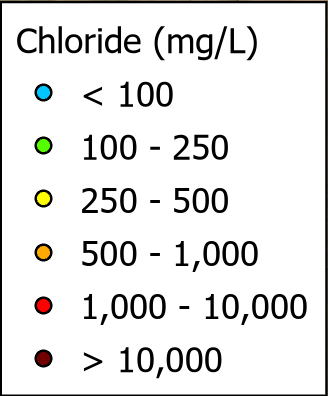
| Carrizozo_NM_Chloride.kmz | 44 KB | 02/16/2026 10:47:39 AM |
| Carrizozo_NM_Fluoride.kmz | 24 KB | 02/16/2026 10:47:39 AM |
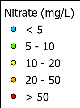
| Carrizozo_NM_Nitrate.kmz | 24 KB | 02/16/2026 10:47:39 AM |
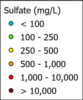
| Carrizozo_NM_Sulfate.kmz | 44 KB | 02/16/2026 10:47:39 AM |
| Carrizozo_NM_TDS.kmz | 35 KB | 02/16/2026 10:47:39 AM |
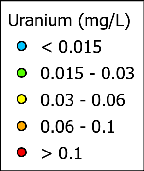
| Carrizozo_NM_Uranium.kmz | 25 KB | 02/16/2026 10:47:40 AM |
| Carrizozo_OSE_DryWells_Earth.kmz | 8 KB | 02/16/2026 10:47:40 AM |
| Carrizozo_PODs_WithMeters_Earth.kmz | 6 KB | 02/16/2026 10:47:40 AM |
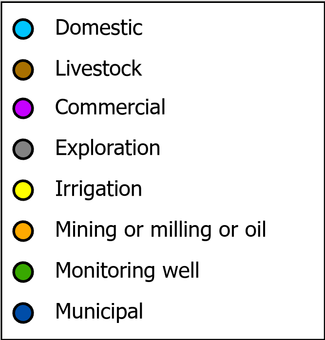
| OSE_Carrizozo_POD_Uses.kmz | 231 KB | 02/16/2026 10:47:40 AM |
| Thumbs.db | 114 KB | 02/16/2026 10:47:40 AM |
| KMZs No Legends: | ||
| Carrizozo_NM_Arsenic_Earth.kmz | 6 KB | 02/16/2026 10:48:31 AM |
| Carrizozo_NM_Chloride_Earth.kmz | 22 KB | 02/16/2026 10:48:31 AM |
| Carrizozo_NM_Fluoride_Earth.kmz | 13 KB | 02/16/2026 10:48:31 AM |
| Carrizozo_NM_Nitrate_Earth.kmz | 10 KB | 02/16/2026 10:48:31 AM |
| Carrizozo_NM_Sulfate_Earth.kmz | 22 KB | 02/16/2026 10:48:31 AM |
| Carrizozo_NM_TDS_Earth.kmz | 14 KB | 02/16/2026 10:48:31 AM |
| Carrizozo_NM_Uranium_Earth.kmz | 6 KB | 02/16/2026 10:48:31 AM |
| Carrizozo_PODs_Use_Earth.kmz | 164 KB | 02/16/2026 10:48:31 AM |
| KMZ Legends: | ||
| Arsenic_Legend.png | 21 KB | 02/16/2026 10:48:13 AM |
| Chloride_Legend.png | 24 KB | 02/16/2026 10:48:13 AM |
| Fluoride_Legend.png | 13 KB | 02/16/2026 10:48:13 AM |
| Nitrate_Legend.png | 16 KB | 02/16/2026 10:48:13 AM |
| POD_Use_Legend.png | 47 KB | 02/16/2026 10:48:13 AM |
| Sulfate_legend.png | 23 KB | 02/16/2026 10:48:13 AM |
| TDS_Legend.png | 24 KB | 02/16/2026 10:48:13 AM |
| Thumbs.db | 98 KB | 02/16/2026 10:48:13 AM |
| Uranium_Legend.png | 21 KB | 02/16/2026 10:48:13 AM |



Most open-file reports are PDF files and require the free Adobe Acrobat Reader software to view. These reports may also contain GIS data or other file types, and some are collections of files that are intended to run from a CD-ROM or local hard drive.