



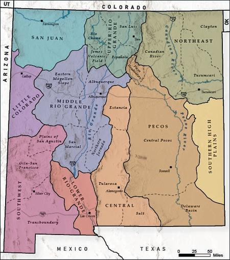
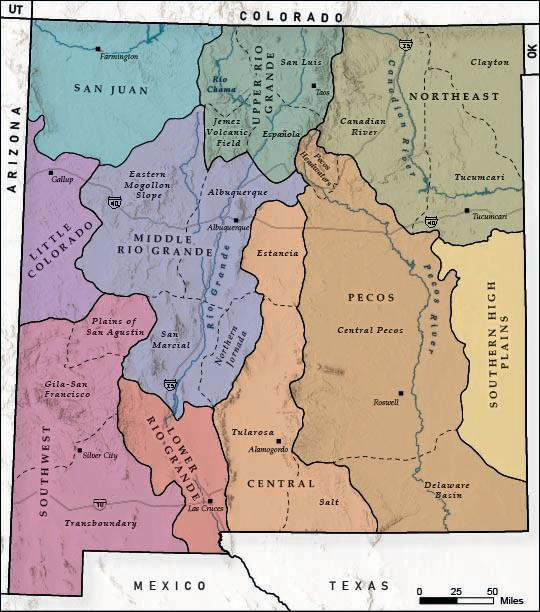
Because our livelihood in New Mexico is particularly dependent on groundwater, it is crucial to understand how groundwater moves, how it is replenished, and what our groundwater conditions look like today. This report synthesizes available groundwater information and summarizes it for 10 regions across New Mexico. The hydrogeology of New Mexico is complex. The broad-level summaries in this report provide a general overview of the variable regional groundwater systems as a starting point for New Mexicans who are considering groundwater projects and policies. Because hydrogeologic conditions within each region are variable and constantly changing, in
some areas faster than others, a site-specific search for local groundwater conditions should always be conducted before beginning any project. Readers are encouraged to visit the New Mexico Water Data website to view current data. The data from this report is also available to explore on a mobile-friendly app.
These regional groundwater summaries are based on published hydrology and geology research as well as current (as of 2025) and historical monitoring data. While conducting new geologic mapping or groundwater sampling was beyond the scope of this project, extensive datasets were reviewed, including well logs, water quality data, water level data, geologic maps, land and water use statistics, and known groundwater contamination locations (see the appendix for more detailed information on data sources). In some regions, data were sufficient to create new water-table elevation maps and improve previous geologic cross sections. Where existing information
was insufficient to characterize groundwater conditions, the authors identified data gaps to guide future planning and research efforts.
These summaries were compiled and written by a team of researchers and consultants working with the New Mexico Bureau of Geology and Mineral Resources (NMBGMR). The project was supported by a combination of funding from the Thornburg Foundation and the New Mexico Aquifer Mapping and Monitoring Program.
Results
This report will be published in the winter of 2026.