 Virtual Field Trip—Group 4
The Alamogordo Fault

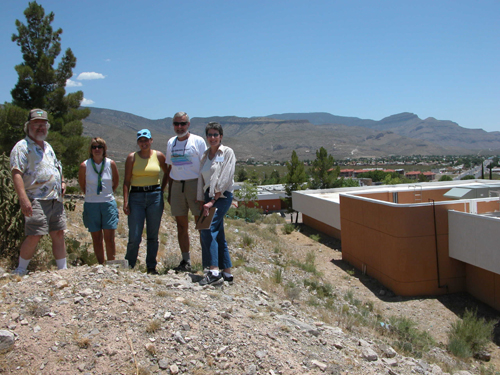
From left to right: Ed Woten, Laurel Nyquist, Tina Burton, Keith Julian, and Jana Harrell.
View a Panoramic image of this stop
Background Information
The Alamogordo fault scarp runs along the western edge of the Sacramento Mountains in Otero County south central NM. This fault system forms the eastern boundary of the Tularosa Basin, a graben. Bounded by the Sacramento uplift on the east and the San Andreas Mountains on the west. As such this uplift and graben system represents the south eastern most extreme of the Basin and Range physiographic province in New Mexico.
This field stop was made to observe the Holocene fault scarp which runs northwest to southeast along the eastern limits of the city, extending underneath the NMSU Alamogordo branch campus, and Gerald Champion Regional Medical Health Center.
The fault scarp represents the visible surface portion of the 50-km-long Alamogordo fault. This is a major normal fault which has been active since Rio Grande rifting began approximately 20–25 million years ago. The most recent activity along this segment of the scarp has been three events within the last 13,000 years, qualifying this as an active Holocene system. This scarp has shown a displacement of approximately 10 meters, due to ongoing westward extension of the North American plate.
For more information on faults and earthquake hazards go to these links below.
- http://earthquake.usgs.gov/recenteqsww/Quakes/quakes_all.html
- http://earthquake.usgs.gov/hazards/
- http://earthquake.usgs.gov/qfaults/nm/index.html


