


RM-11 — Topographic Map of New Mexico
We are a research and service division of:
Compiled by T.A. Mueller, M.W. Wooldridge, S.J. Froost, and staff of the New Mexico Bureau of Mines and Mineral Resources (railroads compiled by R.W. Eveleth), 1983, scale 1:1,000,000
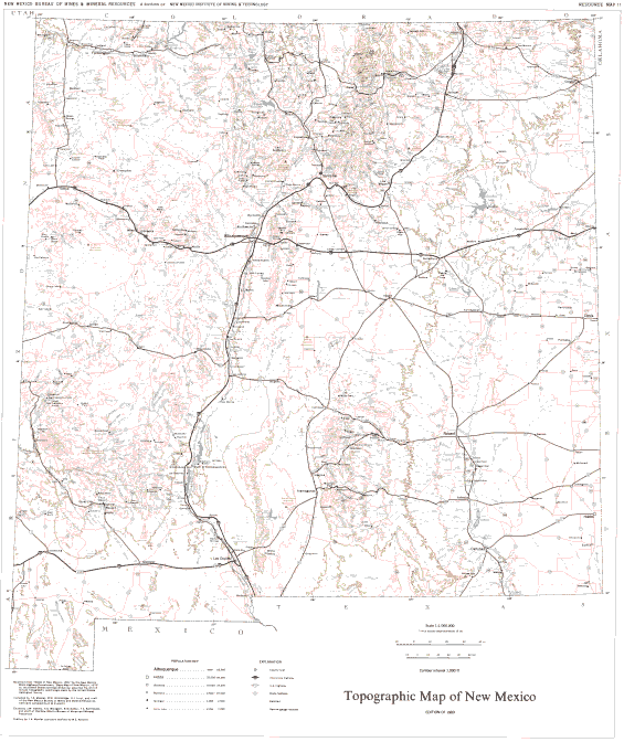
This topographic map of New Mexico has a contour interval of 1000 feet and shows population centers, major landmarks, major hydrologic features, transportation routes, and a Township/Range grid.
This publication is out-of-print.
Available as a free download.
Available as a free download.