


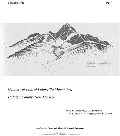
Circular 158—Geology of central Peloncillo Mountains, Hidalgo County, New Mexico
We are a research and service division of:
By A. K. Armstrong, M. L. Silberman, V. R. Todd, W. C. Hoggatt, and R. B. Carten, 1978, 18 pp., 2 tables, 4 figs., geologic map (scale 1:24,000) in pocket.
Prepared in cooperation with the U.S. Geological Survey. Discusses ages and geochemistry of igneous rocks in the central Peloncillo Mountains. Numerous reports on the geology of the central Peloncillo Mountains-including studies of the sedimentary and igneous rocks, structure, and mineral resources-have been published over the last 120 years. Gillerman published a geologic map and detailed descriptions of the igneous and sedimentary rocks, metamorphism, and mineral deposits. His discussion of the various mines and prospects in the area is excellent and represents the most complete work on the area to date.
Our objectives were to provide a more detailed geologic map of the central Peloncillo Mountains than was previously available, to determine the area of the igneous rocks, to study the geochemistry of the igneous rocks and ore deposits, and to attempt to assess the future mineral potential of the region. Included are a geologic map and detailed descriptions of the petrography of the igneous rocks and their K-Ar ages as well as the history of the region. Detailed geochemical anomaly maps and assessment of mineral potential are summarized.
The central Peloncillo Mountains consist of a broken, faulted arch of Precambrian
to middle Tertiary extrusive and intrusive igneous rocks and sedimentary
rocks overlain to the north and south by middle Tertiary and younger extrusive
volcanic rocks. Paleozoic carbonate rocks and Mesozoic clastic rocks with
a large proportion of carbonates underlie most of the mountains. The Paleozoic
and Mesozoic sedimentary rocks and the Precambrian granite are intruded
and metamorphosed by four groups of igneous rocks: (1) an 8 km2 outcrop at Granite Gap, yielding 30–33 Ma old K-Ar ages; (2) granite
porphyry dikes and sills, which give 31–32 Ma old K-Ar ages; (3) fine-grained
porphyritic to felsitic rhyolite dikes, probably related to the granite
porphyry; and (4) quartz-like porphyry dikes and sills, which give 26–28
Ma old K-Ar ages and intrude all of the other igneous and sedimentary rocks.
In the northern part of the area studied, a thick sequence of altered, dominantly
andesitic volcanic rocks overlies the Paleozoic sedimentary rocks and most
of the Mesozoic sedimentary rocks as well. Sills and irregular dikes of
andesite, probably related to the extrusive pile, cut the layered sedimentary
rocks. The andesite extrusives are cut by the granite porphyry and quartz-latite
porphyry dikes and sills. Thrust faulting and folding have deformed the
sedimentary strata. The present structure reflects dominance of high-angle
normal faulting. Steep northeast- and northwest-trending faults controlled
the emplacement of many of the granite porphyry, rhyolite, and quartz-latite
porphyry dikes and sills. Contact metamorphic aureoles in the sedimentary
rocks surround these dikes and sills and exhibit anomalous concentrations
of the trace metals, copper, lead, zinc, silver, molybdenum, bismuth, and
tungsten.
This publication is out-of-print.
Available as a free download.
Available as a free download.
Download
| File Name | Size | Last Modified |
|---|---|---|
| Circular-158.pdf | 4.59 MB | 01/11/2021 03:14:31 PM |