USGS Topographic Maps
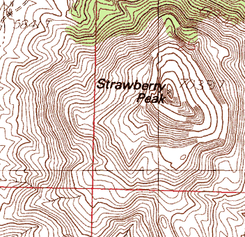
Topographic maps portray the earth's terrain using lines of equal elevation called contour lines. The U.S. Geological Survey offers a handy booklet that defines topographic maps and describes how they are made. We carry paper copies of USGS topographic maps at a variety of scales (see discussion below).
Or, you can find quadrangles using the interactive map below. Use the layers button (top-right) to select a map scale of interest, zoom in to the area of interest, then click on the quadrangle to see it's name and a link to view purchase information.

Map Scales:
- 1 : 24,000 (7.5 minute) Topographic Maps: $8.00 ea.
- 1 : 65,500 (15 minute) Topographic Maps: $8.00 ea. (limited availability)
- 1 : 100,000 (30 x 60 minute) Topographic Maps : $9.00 ea.
- 1 : 250,000 (1 x 2 degree) Topographic Maps: $9.00 ea.
- 1 : 500,000 Topographic Map of New Mexico: $9.00 ea.
We are an official Earth Science Information Center for the U.S. Geological Survey, working cooperatively to provide information to the public. We stock all of the USGS 7.5-minute (1:24,000), 1:100,000, and 1:250,000 topographic maps for the state of New Mexico (at our Socorro office). We also carry other selected USGS publications including most of their geologic maps within New Mexico. A complete list of USGS publications available for purchase directly from the USGS is available online.
Free downloads of most USGS topographic maps are available from other sites for use in GIS systems or in other graphics applications:
- New Mexico Resource Geographic Information System Program (hosted by UNM)
- NM Search and Rescue Resources (hosted by LANL)

